EOS.01
Satellite Imagery Analysis
Detection, segmentation and change detection on optical and radar imagery, compared like for like to cut false change, with before and after images for an analyst to confirm.
Open pageSatellite data into decisions, with the uncertainty shown. Satellite imagery turned into change alerts, land and crop signals and risk layers, delivered into the GIS you already use. Every map says how sure it is, and a person makes the call.

Geospatial AI is the use of machine learning on location data, above all satellite and aerial imagery, to detect objects, classify land and spot change over time. For an organisation it means questions such as what changed on these sites this month, answered from imagery automatically and checked against ground truth.
Generic platforms will segment every building on Earth. What most organisations need is narrower: has this field been harvested, has this forest plot been cleared, is this warehouse under water. We start from that question, pick the sensor that can answer it (optical when the sky is clear, radar when it is not), and build the smallest pipeline that answers it reliably, using open geospatial foundation models where they help and simpler methods where they are enough.
The work that decides whether it holds up is validation. Every model is tested on ground truth from your own sites, across seasons and regions it was not trained on, and every output carries a confidence and the image dates it used. Results land where people already work, such as QGIS, ArcGIS, PostGIS or a dashboard, as standard layers rather than a new platform.
Object detection, segmentation and change detection on optical and radar imagery, tuned to the features and sites you care about.
SEE IMAGERY ANALYSIS →Crop condition, land-use change and deforestation signals per field or plot, for agronomy, supply-chain due diligence and land management.
SEE LAND AND CROP MONITORING →Flood extent, wildfire and storm damage layers overlaid on your exposure, for underwriting, claims triage and response planning.
SEE RISK SIGNALS →An agent that answers questions such as which sites changed this month from your own layers, showing the query and imagery behind each answer.
SEE DATA ANALYSTS →Detection, segmentation and change detection on optical and radar imagery, compared like for like to cut false change, with before and after images for an analyst to confirm.
Open pagePer-field crop condition and per-plot land use and deforestation signals for agronomy and EUDR-style due diligence. Alerts are evidence to investigate; people make the compliance call.
Open pageFlood, wildfire and storm footprints from radar and optical imagery overlaid on your exposure for claims triage and underwriting inputs. Complements a cat model; people decide every claim.
Open pageGeospatial AI is machine learning applied to data with a location, most often satellite, aerial and drone imagery, but also maps, sensors and GPS traces. Typical tasks are detecting objects such as buildings or ships, classifying land cover, and finding change between images taken at different times. Its value comes from answering a specific question repeatedly over large areas, faster than people could inspect the imagery.
Models such as U-Net-style segmenters and object detectors outline features like roads, fields, water and buildings. Change detection compares images over time to spot clearance, construction or flood damage. Newer geospatial foundation models learn general representations from large image archives and can be adapted to a task with fewer labels. Each still needs validation on the region and season where it will be used.
Usually free Copernicus Sentinel-1 radar and Sentinel-2 optical data and Landsat to start, because they cover the whole planet regularly. Where a question needs finer detail or more frequent revisits, commercial imagery from providers you license can be added. Radar matters where clouds are common, because it sees through them.
It depends on the feature, the sensor resolution, the region and the quality of labels, so we do not quote a general figure. We measure accuracy on held-out ground truth from your own sites, report it by class and region, and attach a confidence to each output. Where accuracy is not good enough for the decision, we say so before deployment.
It helps, because someone should own the layers and know the ground. But the outputs are standard formats (Cloud-Optimised GeoTIFF, GeoJSON, PostGIS tables) that load into QGIS, ArcGIS or a dashboard, and alerts can go to email or your existing systems, so a non-specialist team can act on them.
What we built, what stage it is at, and a link to the live thing wherever there is one.


yourOS is an operating system with an AI at its heart. You talk to it like a person, out loud or typed. It makes your calls, plans your days and works on your projects with a crew of agents, on your own private server. Our own product, built from the first commit; the waitlist is open.
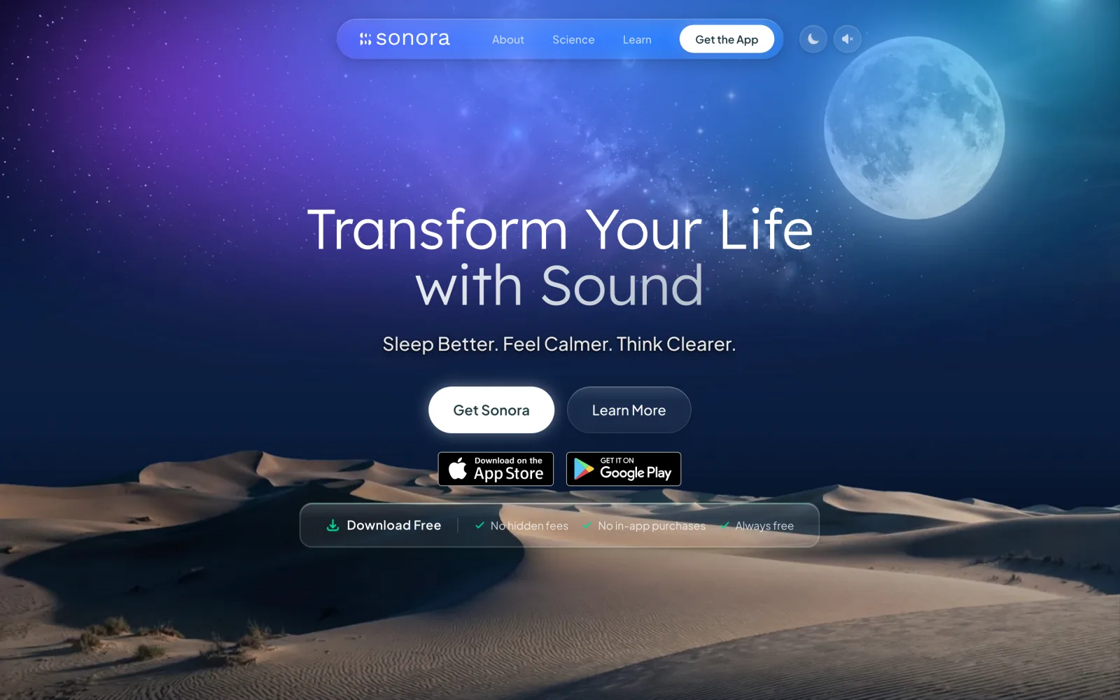

Website, backend and app assets for Sonora, a free AI sound-therapy app on iOS and Android published by Cognitive AI.


Brand, website, prototype, apps on five platforms, the AI backend and the algorithm-intelligence pipeline for Podswap, a social growth engine that runs without a human in the loop.
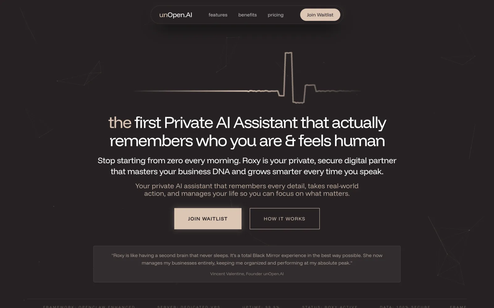

In closed beta: Roxy, a private AI assistant with permanent memory running on infrastructure the user owns. Brand, site, product, backend and conversational design.


Live at coherence.com: brand identity generated with AI agents we directed, the motion system and website for the group behind Sonora, AboutAI, WakeUp and MudShadows. Agent work remains in build.


Live at domainbooth.com for DomainBooth, a premium domain brokerage: a new animated mark, every page redesigned and rebuilt with designed mobile layouts, and a custom CMS for its sales record, featured names, press and enquiries.





















Bring one question you would like answered from space, and the ground truth you have to check it.
30-minute technical call · no deck